

The Imagery Operations Platform
From Imagery to Intelligence

ArcXphere is an Imagery Operations Platform that unifies satellite, aerial, drone, and geospatial imagery into a single operational ecosystem.
Rather than simply analyzing imagery, ArcXphere enables organizations to collect, manage, share, and operationalize imagery intelligence. It serves as the foundation for expanding intelligence from centralized operations to mission execution at the edge.
 What is ArcXphere?
-
Today's imagery is generated across countless systems but remains fragmented in isolated applications.
-
ArcXphere brings together satellite imagery, aerial imagery, drone imagery, GIS, and other geospatial information into one unified operational platform. It goes beyond image analysis by providing a complete environment for data collection, management, collaboration, and intelligence delivery.
-
ArcXphere is not just an AI platform—it is the operational foundation for imagery intelligence.
-
Operational Flow
ArcXphere is more than an image analysis platform.
Every image captured in the field becomes part of a continuous learning process, generating new intelligence throughout daily operations. Through the Capture → Learn → Assist → Automate lifecycle, the platform continuously improves operational efficiency and decision-making.
As operational knowledge accumulates, repetitive tasks are automated, and intelligence is continuously applied to new missions—making the platform smarter with every operation.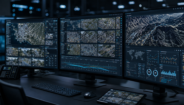
-
Platform Architecture
The ArcXphere Platform serves as the unified operational foundation that connects imagery, intelligence, Nx product suites, and external systems into a single operational ecosystem.
Diverse imagery is consolidated within the ArcXphere Platform and transformed into actionable intelligence through the Intelligence Layer. This intelligence is then seamlessly delivered to mission applications and field systems, enabling smarter operations and faster decision-making.
As the common operating foundation for the entire Nx product portfolio, ArcXphere allows organizations to deploy only the capabilities they need while seamlessly expanding into a fully integrated platform over time.
-
Product Family
ArcXphere is not a single product, but a modular platform composed of solutions that can be combined according to mission requirements.
The product portfolio includes NxEye, NxGlobe, NxHub, NxInsight, NxFlow, NxDiscovery, NxBrief, NxOps, NxDrive, NxSync, and NxIntelligenceLoop. Each module operates independently while working seamlessly together on the ArcXphere Platform.
This modular architecture enables organizations to build, scale, and expand their platform incrementally based on operational objectives and business growth.
-
Use Cases
ArcXphere is not designed for a single industry—it is a common operational platform for imagery-driven missions across multiple sectors.
In defense, it supports ISR operations and imagery intelligence. For disaster response, it enables damage assessment and situational awareness. In infrastructure management, it provides change detection and predictive maintenance, while in the public sector it enhances imagery management and collaborative operations.
Regardless of the industry, every workflow follows the same continuous operational lifecycle:
Capture → Learn → Assist → Automate
This continuous intelligence loop enables organizations to improve operational efficiency while continuously evolving their intelligence capabilities.
Vision
Today, ArcXphere empowers organizations as an Imagery Operations Platform.
Tomorrow, it will evolve into a Spatial Intelligence Platform that understands the physical world.
Ultimately, ArcXphere's vision is to become an Operational Intelligence Platform that transforms intelligence into autonomous, continuously improving operations.