

ArcNexa is a technology company that transforms field-generated imagery and geospatial data into actionable intelligence through its Imagery & Geospatial Intelligence Platform and Edge AI technologies, enabling smarter operational environments across defense, public, and industrial sectors.
By integrating platforms that collect, manage, and operate diverse imagery and geospatial information with advanced Edge AI,
ArcNexa delivers an intelligent operational ecosystem that connects the entire workflow - from data generation to analysis, decision-making, and information sharing.
ARC-B represents ArcNexa’s next-generation Edge AI platform roadmap,
extending the platform's intelligence to field devices and seamlessly connecting centralized operations with edge environments.
Mission
Transform imagery, geospatial information, and field data into operational intelligence, empowering government agencies and industries to make faster, smarter,
and more accurate decisions.
Vision
Building the Future of Intelligent Operations- from Space to the Edge
"A Global Imagery Intelligence Platform Company"
Business Direction
01
Securing Defense & Public Sector References
Leveraging the ArcXphere Platform MVP, ARC-B prototype, and Proof of Concept (PoC) initiatives, ArcNexa validates real-world applications across the defense and public sectors, securing early customer references and accelerating platform commercialization.

02
Scaling Organization-Specific Intelligence
ArcNexa develops mission-specific intelligence by understanding each organization's data and operational processes. Continuous learning from operational experience enables the platform to advance image interpretation, situational awareness, and intelligent workflow automation.

03
Building the Ecosystem
Starting with the defense sector, ArcNexa is expanding its solutions into disaster response, industrial operations, and public infrastructure. By connecting the ArcXphere Platform with ARC-B and future product extensions, we are building a comprehensive ecosystem for intelligent operations.
-
Leadership & Expertise
-
Our multidisciplinary team of experts in defense systems, space technologies, geospatial intelligence, and AI platforms is developing an Operational AI Platform that enables organizations to build and scale mission-specific intelligence.
-
Future Tech Research Center
- Satellite Imagery, GIS & Remote Sensing S/W Development
- Defense GEOINT & Geospatial Platform Development
- AI-Based Image Processing Technology R&D
- Next-Generation AI Core & Platform R&D
-
Business Development Division
- Public Sector, Defense & Geospatial Business Development
- Customer Allocation, Proposal & Bid Management
- PoC & Solution Consulting
- Strategic Partnership & Ecosystem Enlargement
-
Global Business Division
- Space & Satellite Business Collaboration
- Strategic Partnership with Vantor, BlackSky and Umbra
- Newly Expanding Business Territory to Asia, Middle East and Euroupe, etc.
-
Management Support Division
- Corporate Planning & Strategic Management
- Finance, Accounting & Human Resources Management
- Legal Affairs, Contract Management & Compliance
- General Administration, IT, Information Security & Quality Management
Domain Expertise
-
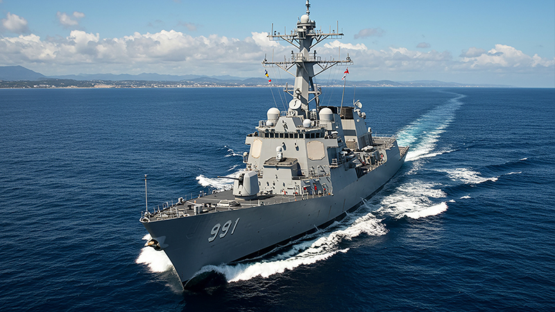
Defense AI & Embedded Systems
Leveraging deep expertise in defense software and embedded systems,
we design AI-driven operational architectures for mission-critical environments.
Our experience spans radar, electronic warfare, digital mapping, and mission planning systems, enabling secure, real-time, and autonomous operations.
-
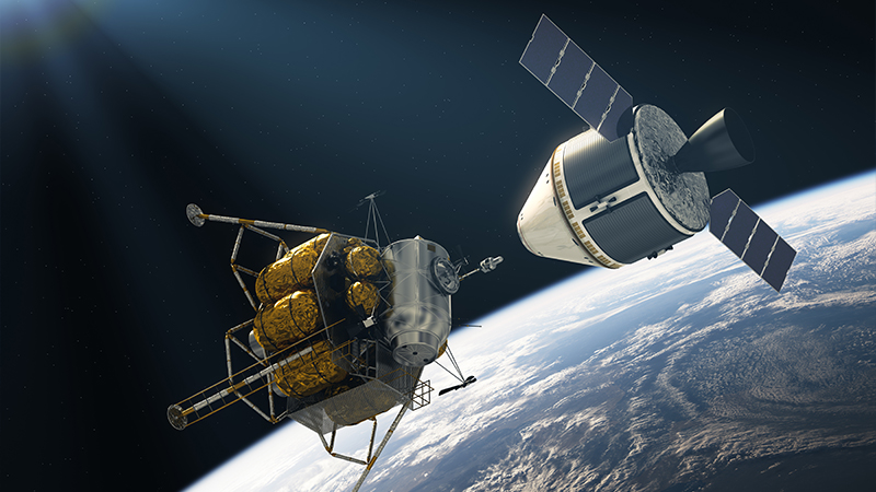
Global Space & Geospatial Intelligence
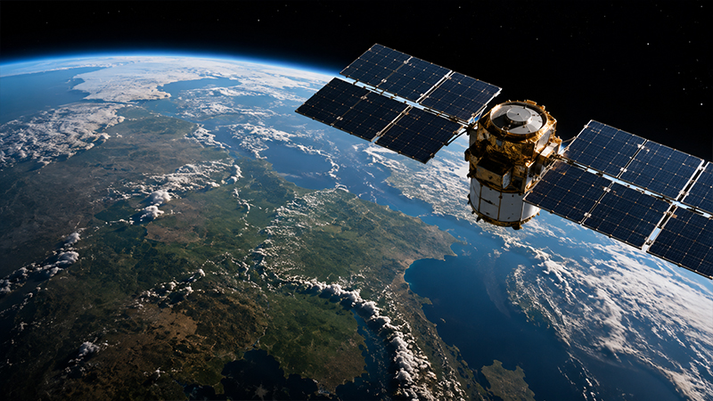
Drawing on the successful commercialization experience of KOMPSAT and decades of experience in the global space industry, we help organizations unlock the value of satellite imagery and geospatial intelligence. Through collaborations with industry leaders including Maxar, BlackSky, and Umbra, we advance imagery intelligence capabilities and build strategic global partnerships.
-
Geospatial Intelligence (GEOINT)
With deep expertise in satellite imagery, GIS, remote sensing, and defense GEOINT,
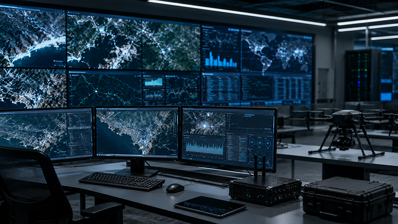
we transform geospatial data into actionable operational intelligence. By fusing imagery with location-based data, our platform enables advanced object detection, change detection, and situational awareness.
-
AI Platform / Operations Automation
Our AI platform learns from each organization's data and operational workflows, continuously transforming experience into intelligence. By automating repetitive analysis and interpretation tasks while seamlessly integrating ArcXphere and ARC-B,
it extends centralized intelligence to Edge AI at the operational edge.